

Villavicencio, Meta. February 24, 2026. A study led by Ph.D. Researcher Carlos E. González-Orozco from the La Libertad Research Center was published in the scientific journal Discover Conservation (https://rdcu.be/e33tM) and presents a spatial prioritization model that integrates biodiversity, phylogenetic diversity, geodiversity, and agricultural frontier expansion across six strategic páramo complexes in Colombia: Almorzadero, Cruz Verde–Sumapaz, Guantiva–La Rusia, Santurbán–Berlín, Los Nevados, and Sonsón.
The study is based on a simple but essential premise: agricultural production expansion cannot be analyzed without considering the natural characteristics and ecological history of the territory. Accordingly, the model combines data on species richness, levels of endemism, evolutionary relatedness, and biological distinctiveness, together with information on climatic suitability for production and recent land-use changes.
This integrated assessment enables the identification of areas where two critical factors converge: high biodiversity value and intense human pressure, particularly along the elevational boundaries of the Eastern Cordillera.
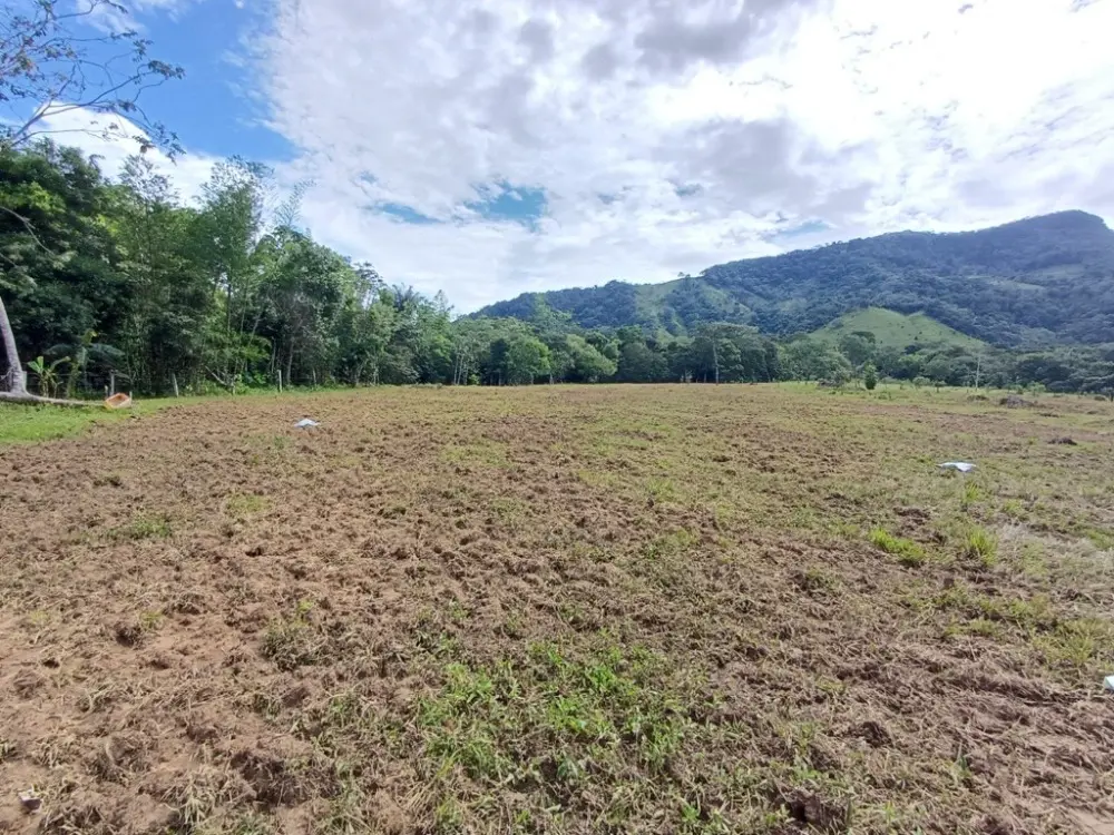
Páramos are unique high-mountain ecosystems found nowhere else in the world. They perform essential functions such as water regulation, biodiversity conservation, and climate change mitigation. However, they are increasingly under pressure from agricultural and livestock expansion, especially in transitional zones between productive landscapes and natural ecosystems.
Among the main findings, the Eastern Cordillera stands out for concentrating the highest levels of endemism and evolutionary distinctiveness of native flora, particularly in emblematic species such as frailejones (Espeletia spp.). At the same time, the Central Cordillera maintains high biological diversity under comparatively lower agricultural pressure.
A key contribution of the study is its transformation of complex scientific information into practical data for local decision-making. The identification of 46 priority municipalities and 185 priority rural districts was not based solely on biodiversity, but on the combined assessment of biological value, physical landscape characteristics, and risk from agricultural expansion. This approach facilitates the use of the results in land-use planning, productive zoning, and public investment strategies.
From an academic perspective, incorporating phylogenetic diversity and evolutionary distinctiveness adds an evolutionary dimension that goes beyond species counts. It considers their evolutionary history, enabling assessment of how severe the loss of certain biological groups could be if the territory is transformed. This is particularly relevant in high Andean ecosystems, where many species emerged through geological and climatic processes that took thousands or even millions of years.
The study does not remain at a descriptive level. Its results align with the corporation’s technological portfolio, particularly in areas related to soil and water diagnostics, plant nutritional assessment, multipurpose silvopastoral systems, and the production of plant material with high phytosanitary quality. This alignment supports the proposal of technical solutions aimed at reducing environmental pressure without compromising productivity. In areas where agricultural expansion overlaps with high biodiversity, practices such as silvopastoral systems, proper soil management, and productive restoration strategies can help reduce conflicts between production and conservation.
Finally, the study opens new lines of research, including scenario analysis under climate change, incorporation of socioeconomic variables into prioritization analyses, longitudinal evaluation of agricultural frontier dynamics, and the development of socioecological resilience indicators. It also creates opportunities for interdisciplinary collaboration among ecology, agronomy, geography, rural economics, and territorial planning.
Overall, the research provides a practical tool to anticipate tensions between conservation and production in high-mountain landscapes. By integrating biodiversity, territorial characteristics, and agricultural pressure into a local-level framework, it strengthens evidence-based planning and positions AGROSAVIA as a technical actor at the interface of science, territory, and sustainable rural development.
- More information here:
- Darlin Conrado Mosquera
- Communications, Identity and Corporate Relations Professional
- Research Center La Libertad
- Communications, Identity and Corporate Relations Advisory Office
- dconrado@agrosavia.co
- AGROSAVIA